Get a related visualization
URL: https://daac.ornl.gov/SERVICES/guides/Airborne_RShiny_App_Fig1.png
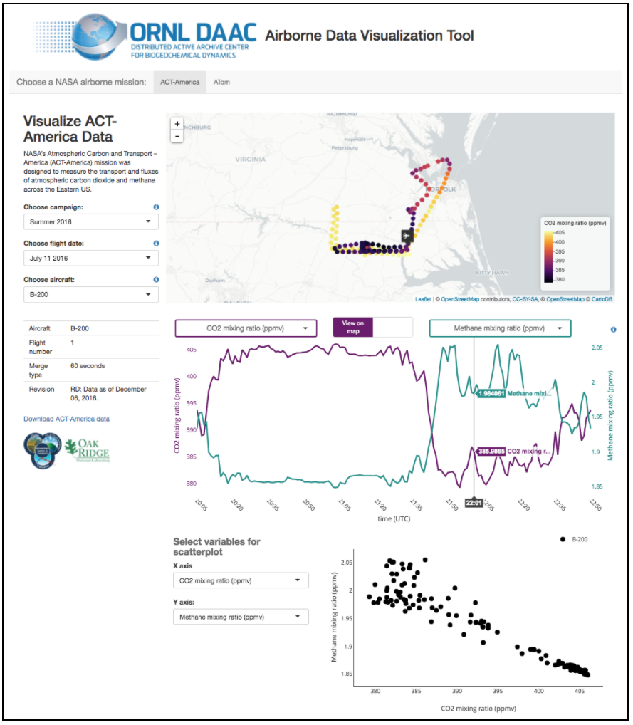
Screenshot of the Airborne Data Visualizer showing CO2 and CH4 concentrations from a flight of the B-200 aircraft on July 11 2016 as part of the ACT-America mission.
There are no views created for this resource yet.
Additional Information
| Field | Value |
|---|---|
| Data last updated | November 12, 2020 |
| Metadata last updated | November 22, 2025 |
| Created | November 12, 2020 |
| Format | PNG |
| License | License not specified |
| Datastore active | False |
| Has views | False |
| Id | 02840584-3f99-4646-9eb1-669e7b4190b3 |
| Mimetype | image/png |
| Package id | 6d9d1284-6970-469d-a2ea-5e9c5a9141e5 |
| Position | 3 |
| State | active |