Geologic Map Coverage.jpg
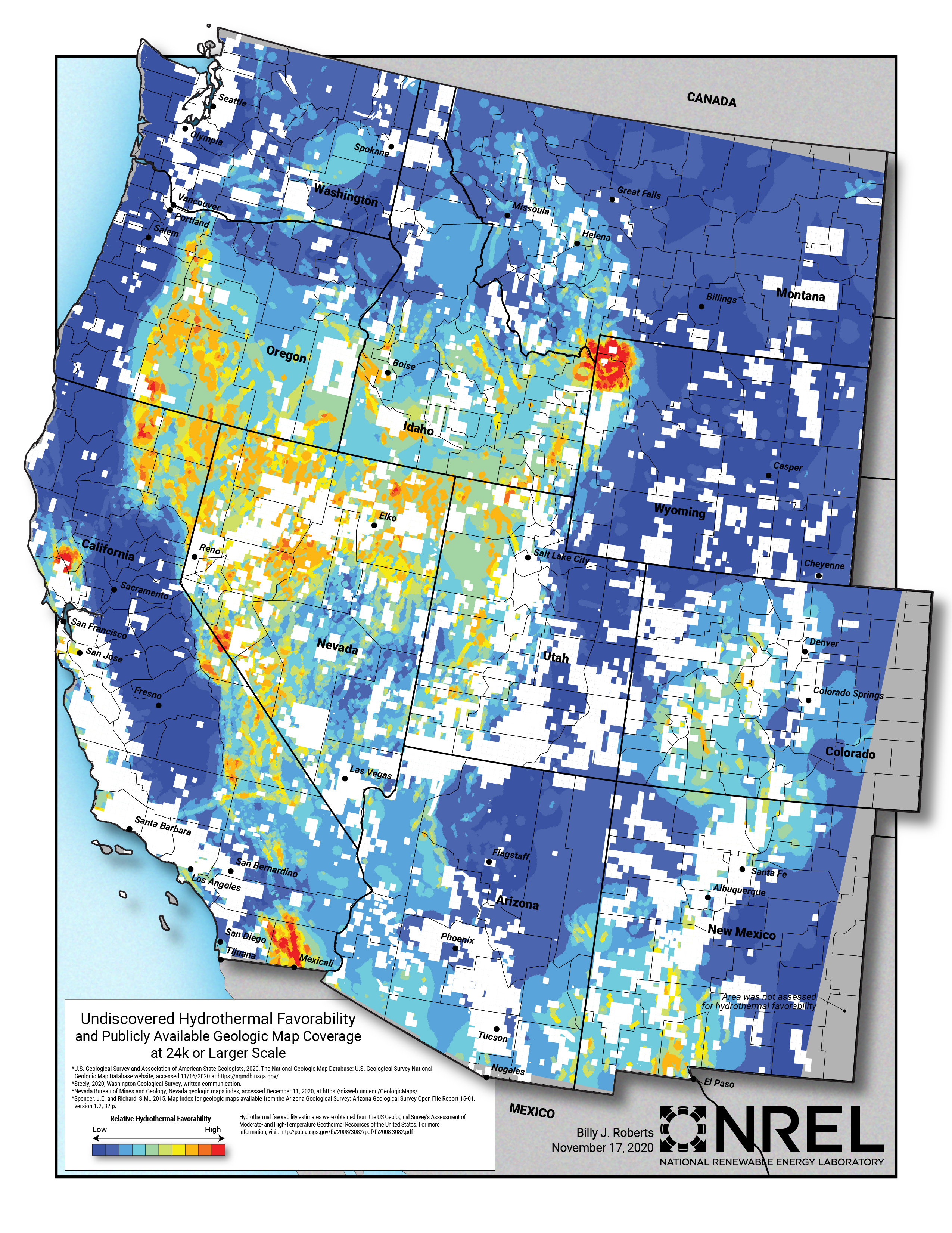
Map showing publicly available geologic mapping at 24k or larger scale as of 2020 in white. Geologic maps at these scales are not available publicly for areas showing the 2008 USGS relative hydrothermal favorability shading.
Additional Information
| Field | Value |
|---|---|
| Data last updated | February 19, 2025 |
| Metadata last updated | September 23, 2025 |
| Created | February 19, 2025 |
| Format | JPEG |
| License | Creative Commons Attribution |
| Datastore active | False |
| Has views | True |
| Id | 1d3dfde3-521e-473c-b2bb-a157c1a6b0b4 |
| Mimetype | image/jpeg |
| Package id | 00329a52-c731-4f5c-b37d-3a46cd9f4506 |
| Position | 3 |
| State | active |