What is SEPAL?
SEPAL (https://sepal.io/) is a free and open source cloud computing platform for geo-spatial data access and processing. It empowers users to quickly process large amounts of data on their computer or mobile device. Users can create custom analysis ready data using freely available satellite imagery, generate and improve land use maps, analyze time series, run change detection and perform accuracy assessment and area estimation, among many other functionalities in the platform. Data can be created and analyzed for any place on Earth using SEPAL.

Figure 1: Best pixel mosaic of Landsat 8 data for 2020 over Cambodia
SEPAL reaches over 5000 users in 180 countries for the creation of custom data products from freely available satellite data. SEPAL was developed as a part of the Open Foris suite, a set of free and open source software platforms and tools that facilitate flexible and efficient data collection, analysis and reporting. SEPAL combines and integrates modern geospatial data infrastructures and supercomputing power available through Google Earth Engine and Amazon Web Services with powerful open-source data processing software, such as R, ORFEO, GDAL, Python and Jupiter Notebooks. Users can easily access the archive of satellite imagery from NASA, the European Space Agency (ESA) as well as high spatial and temporal resolution data from Planet Labs and turn such images into data that can be used for reporting and better decision making.
National Forest Monitoring Systems in many countries have been strengthened by SEPAL, which provides technical government staff with computing resources and cutting edge technology to accurately map and monitor their forests. The platform was originally developed for monitoring forest carbon stock and stock changes for reducing emissions from deforestation and forest degradation (REDD+). The application of the tools on the platform now reach far beyond forest monitoring by providing different stakeholders access to cloud based image processing tools, remote sensing and machine learning for any application. Presently, users work on SEPAL for various applications related to land monitoring, land cover/use, land productivity, ecological zoning, ecosystem restoration monitoring, forest monitoring, near real time alerts for forest disturbances and fire, flood mapping, mapping impact of disasters, peatland rewetting status, and many others.
The Hand-in-Hand initiative enables countries that generate data through SEPAL to disseminate their data widely through the platform and to combine their data with the numerous other datasets available through Hand-in-Hand.

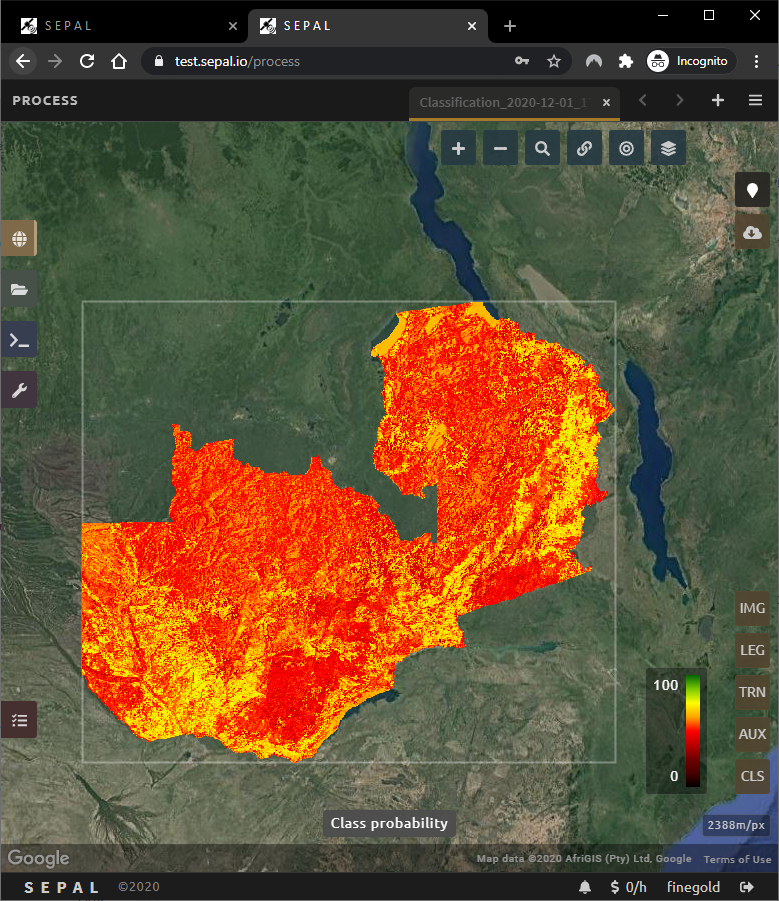
Figure 2: Image classification module for land monitoring and mapping. Probability classification over Zambia