")
Land Cover
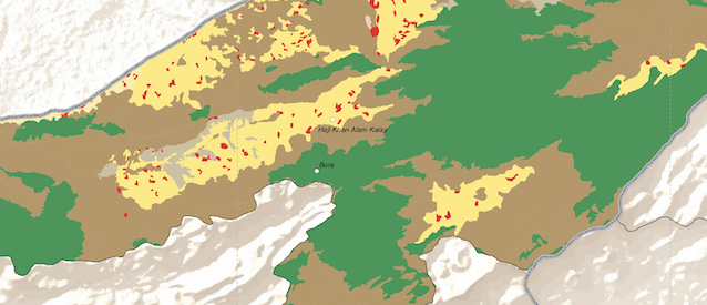
Land cover and use data is crucial for identifying past and current trends in agriculture and inform planning and policies towards the design and implementation of more sustainable agricultural systems.
These datasets provide national, regional and global land cover maps prepared by different projects using different standards including using ISO standard (ISO 19144-2:2012) that is developed with the final aim of providing a common reference structure for the comparison and integration of data for any generic land cover classification system, thus ensuring the ability to exchange land cover data.
Data and Resources
-
Land Cover/Useterriajs-group
Land Cover: National, regional and global land cover maps prepared by...
Additional Info
| Field | Value |
|---|---|
| Last Updated | June 19, 2023, 19:04 (CDT) |
| Created | January 23, 2023, 13:16 (CST) |
| encoding | utf8 |
| harvest_url | https://data.apps.fao.org/catalog/dataset/ba71ed39-10d1-4884-afce-20dd66ef6265 |